Date:
1861
Dates of Creation:
1861
Object ID:
2012.42.1a—f
Object Name:
Map
Accession#:
2012.42
Area / Region:
Peoria County, Illinois
Classification:
Maps
Language of Material:
English
Map Language:
English
Other Creators:
Mathews, Crane, & Co. Publishers
Pubication Date:
1861
Publication Place:
Philadelphia, PA
Publisher:
Mathews, Crane, and Co.
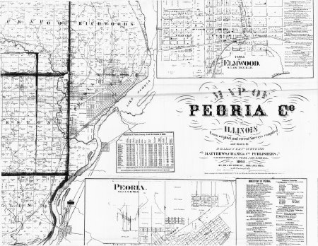
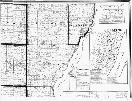
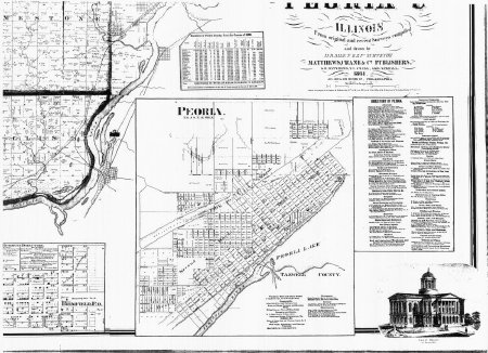
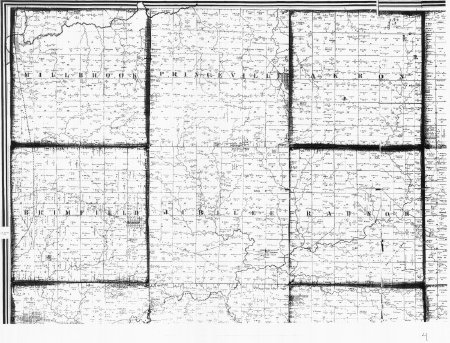
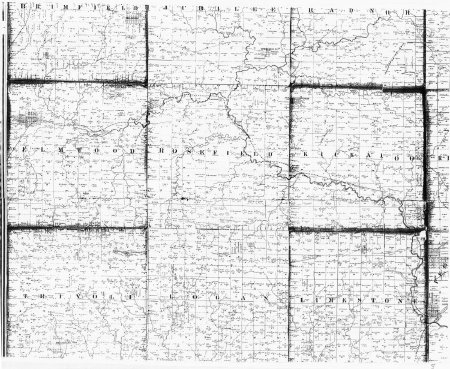
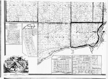
Scope & Content:
Large, 6 piece white copy map of Peoria County in 1861. The map covers roads, bodies of water, streets, and land
Sheets numbered 1a—1f.
Sheets numbered 1a—1f.
Source:
anonymous
Subjects:
Maps
Cities & towns
Counties
Cities & towns
Counties
Title:
Copy of 1861 map of Peoria County
Click to Enlarge
 Map of Peoria
 Map of Peoria


